
Our first riding day took us from central Taiwan to the north coast, mostly along a riverside bicycle path.
Ride details
2026-04-16_Taipei_to_Keelung GPX
No elevation data
| Name: | No data |
| Distance: | No data |
| Minimum elevation: | No data |
| Maximum elevation: | No data |
| Elevation gain: | No data |
| Elevation loss: | No data |
| Duration: | No data |
The map controls let you zoom in and out, see a full-screen view, and download the GPS trace for the ride. Hover over the elevation map to see the corresponding point on the map.
Date: 16 April 2026
Start: Taipei, from Songshang MRT station
Finish: Central Keelung
Distance: 31 km
Elevation gain: 90 m
GPS Trace: Use the button on the map above to download the GPX file for the ride
Meals:
- Dinner: At the Keelung night market
Weather:
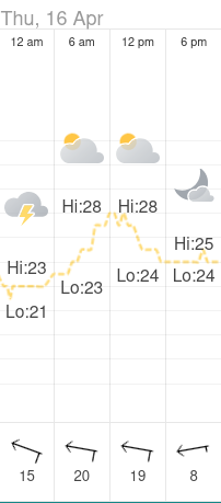
Post-ride accommodation: Harbor View Hotel, Keelung
Bike: Brompton C-Line 12-speed, 2025 model
Navigation computer: Coospo CS-500
Observations
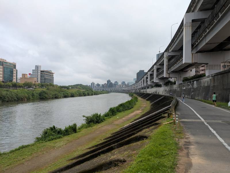
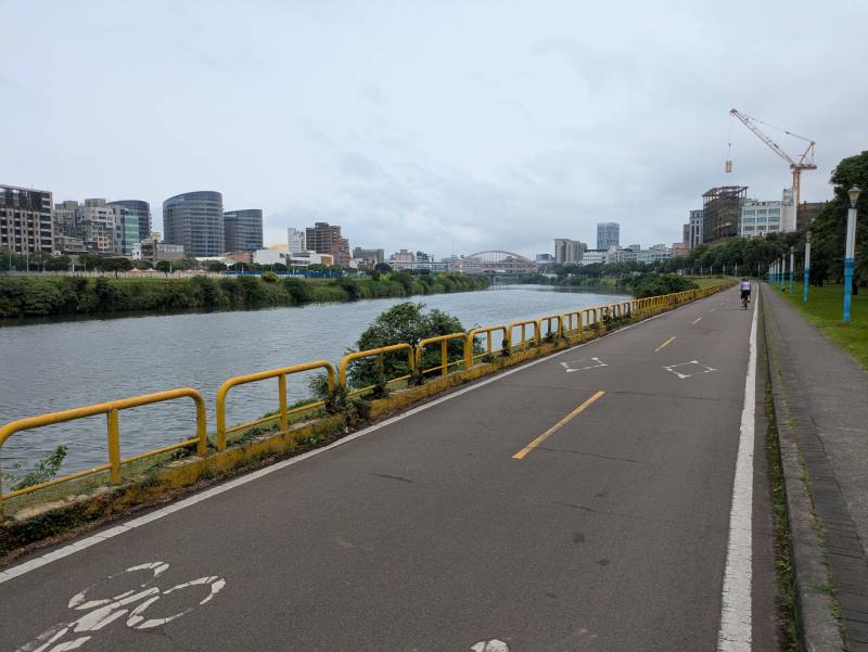
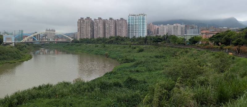
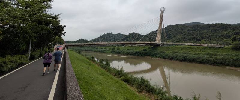
- The ride from the river front (near Songshang MRT station) to the edge of town was on dedicated cycle paths, with just a few road crossings
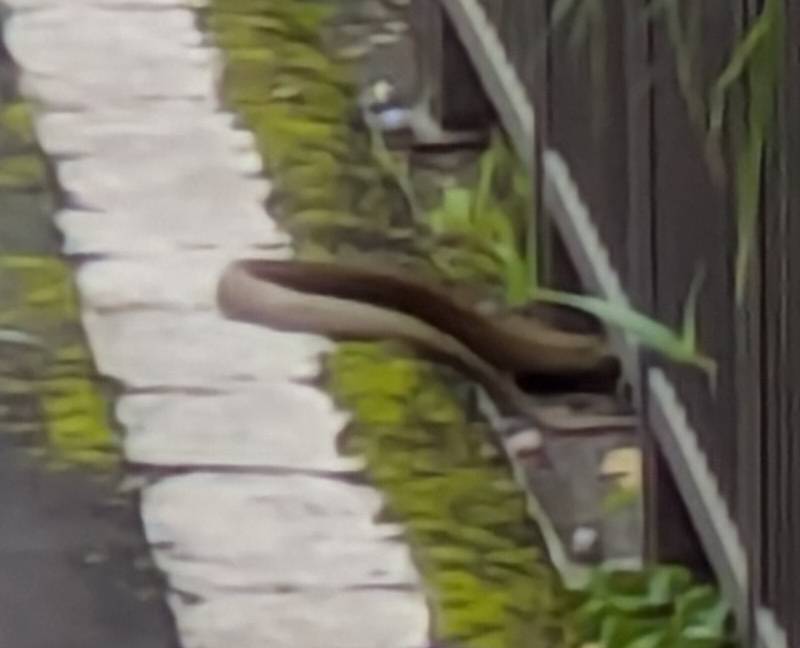
- There was a snake on the bicycle path on the edge of Taipei
- The traffic between Badu Station (at the 28 km point) and central Keelung was heavy. Perhaps it wasn’t unusually heavy for Taiwan, but it was our first day of cycling in the country, and seemed heavy to us then.
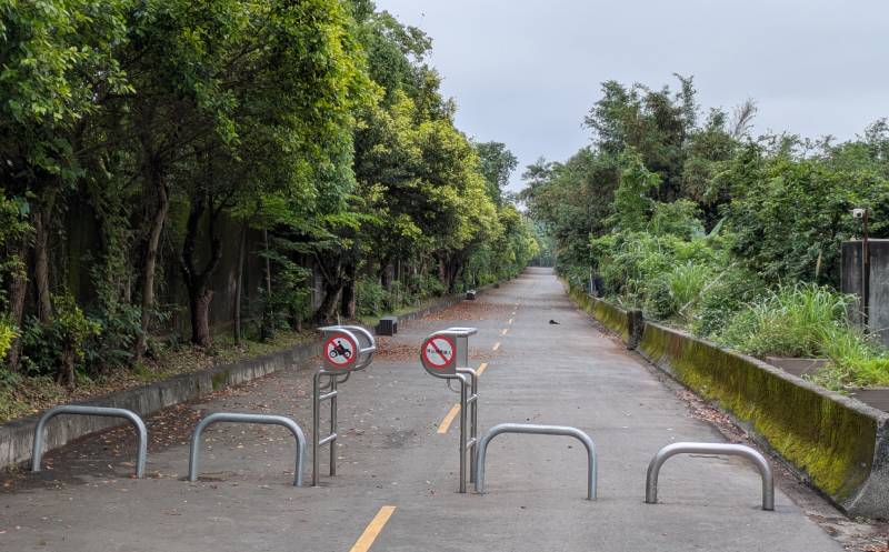
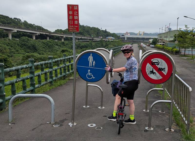
- The dedicated bike path had traffic calming devices near road intersections. Some were a difficult to squeeze through, or a a bit hazardous to cyclists.
Scenery
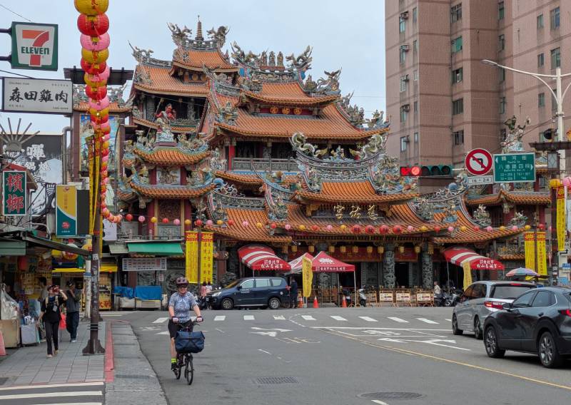
Here are some photos from the ride.
About
This ride was part of a multi-day cycling adventure in Taiwan, in April 2026.