
We had a bicycle touring holiday in Taiwan in April 2026.
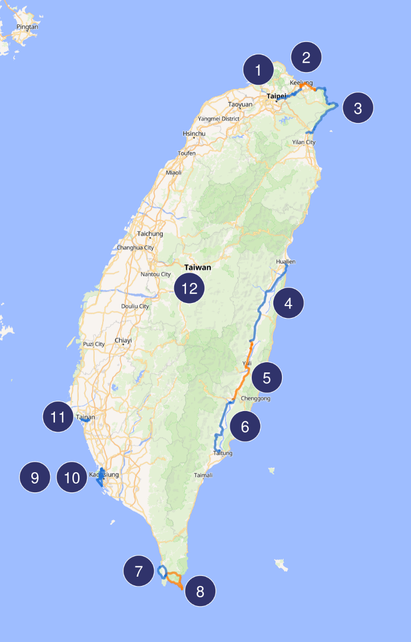
Overview map
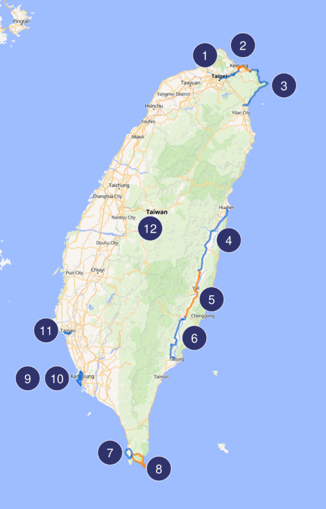
Here is a map showing the cycling segments of the trip.
Observations
- Most of our riding was on roads, with marked lanes for motorcycles and bicycles.
- We used busses and trains to get from place to place. The high-speed rail network on the western side of Taiwan was especially good.
- There are a lots of motor scooters in Taiwan.
- The road surfaces were always excellent. The paving was very smooth. I don’t remember seeing a single pothole or any road damage at all.
- Sometimes we were riding on major arterial roads, with lots of heavy traffic. This was mainly along the north coast. The drivers were always courteous. Despite the traffic, the riding never felt dangerous.
- Most of the traffic lights operate on a timer system, not on a sensor system. They don’t react to waiting traffic. It was a bit annoying to be stopped a red light when there was no other traffic about. This was true in the cities and on rural roads.
Day by Day
- Day 1 – Taipei to Keelung, 32 km
- Day 2 – Keelung to Juifen, 26 km
- Day 3 – Jiufen to Jiaoxi, 74 km
- Day 4 – Jiaoxi to Ruisui, 71 km
- Day 5 – Ruisui to Chishang, 54km
- Day 6 – Chishang to Taitung, 55 km
- Day 7 – National Aquarium and Hengchun, 26 km
- Day 8 – Kenting Loop Ride, 43 km
- Day 9 – Around Kaohsiung, 27 km
- Day 10 – Kaohsiung and Cijin Island, 26 km
- Day 11 – Around Tainan, 14 km
- Day 12 – Sun Moon Lake, 29 km
Each day’s entry includes a GPS trace of the ride (in GPX format).