
After a train trip from Jiaoxi to Hualien, to avoid a dangerous highway, we cycled into Taiwan’s rift valley.
Ride details
2026-04-19_Hualien_to_Ruisui GPX
No elevation data
| Name: | No data |
| Distance: | No data |
| Minimum elevation: | No data |
| Maximum elevation: | No data |
| Elevation gain: | No data |
| Elevation loss: | No data |
| Duration: | No data |
The map controls let you zoom in and out, see a full-screen view, and download the GPS trace for the ride. Hover over the elevation map to see the corresponding point on the map.
Date: 19 April 2026
Start: Hualien
Finish: Ruisui
Distance: 70 km
Elevation gain: 400 m
GPS Trace: Download the GPX file from the button on the map above
Meals:
- Coffee: At a very pleasant cafe in Hualien
- Lunch: Convenience store
- Dinner: At a small restaurant near the hotel.
Weather:
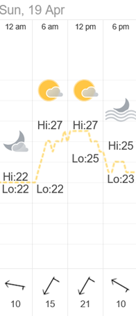
Post-ride accommodation: Ruixiong Hotspring Hotel
Bike: Brompton C-Line 12-speed, 2025 model
Navigation computer: Coospo CS-500
Observations
- We decided to do what most cyclists do, and bypass the Suhua Highway (part of Provincial Highway 9). We took the train from Jiaoxi to Hualien at the start of the day.
Scenery
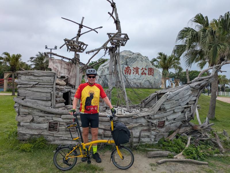
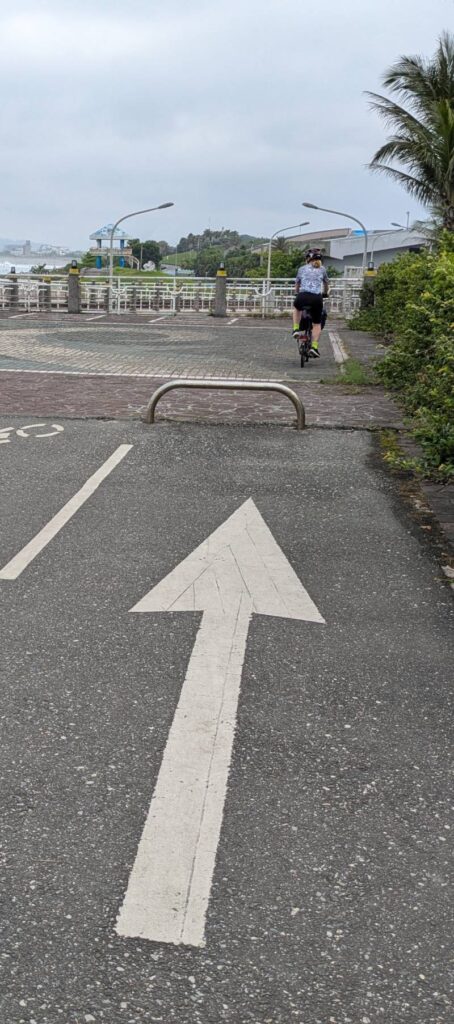
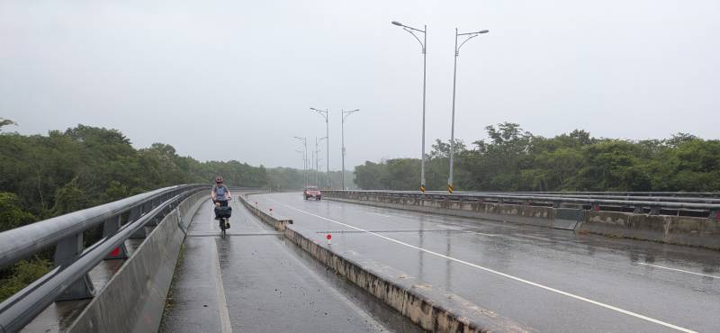
Here are some photos from the ride.
About
This ride was part of a multi-day cycling adventure in Taiwan, in April 2026.