
After traveling from Kaohsiung, we spent the afternoon exploring Tainan.
Ride details
2026-04-26_Tainan_and_Anping GPX
No elevation data
| Name: | No data |
| Distance: | No data |
| Minimum elevation: | No data |
| Maximum elevation: | No data |
| Elevation gain: | No data |
| Elevation loss: | No data |
| Duration: | No data |
The map controls let you zoom in and out, see a full-screen view, and download the GPS trace for the ride. Hover over the elevation map to see the corresponding point on the map.
Date: 26 April 2026
Start: Tainan station
Finish: Hotel A
Distance: 14 km
Elevation gain: 15 m
GPS Trace: Download the GPX file from the button on the map above
Meals:
- Coffee: in a delightful little cafe, with an aquarium inside an old TV
- Afternoon tea: On a balcony of Ubuntu Bookshop, overlooking the canal.
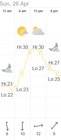
Weather:
Post-ride accommodation: Hotel A, Tainan
Bike: Brompton C-Line 12-speed, 2025 model
Navigation computer: Coospo CS-500
Observations
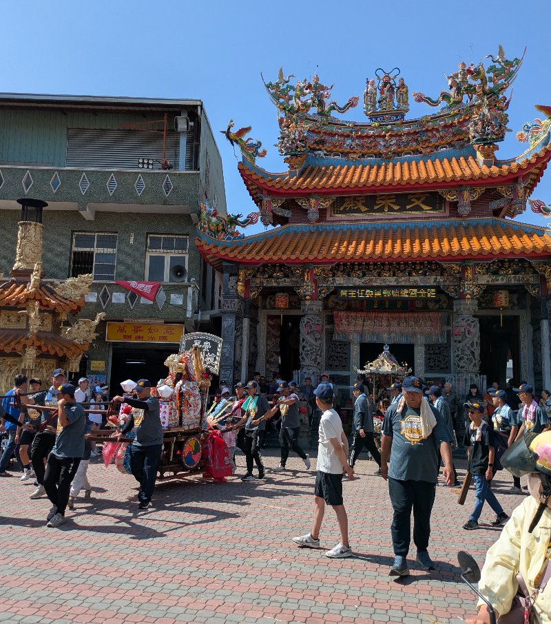
- There were many religious processions underway around town, with lots of people participating.
Scenery
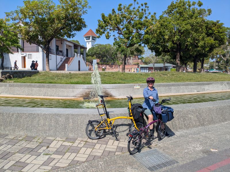
Here are some photos from the ride.
About
This ride was part of a multi-day cycling adventure in Taiwan, in April 2026.