
Our second day of riding day took us from the northern town of Keelung to the mountain town of Jiufen, with a morning detour to the Buddha’s Hand Cave and the adjacent Fairy Cave.
Ride details
We took a 4 km sight-seeing ride in the morning from central Keelung to the Buddha’s Hand Cave and Xiandongyan Zuisheng Temple. The ride was flat.
After a coffee, we commenced our main ride.
2026-04-17_Keelung_to_Jiufen GPX
| Name: | No data |
| Distance: | No data |
| Minimum elevation: | No data |
| Maximum elevation: | No data |
| Elevation gain: | No data |
| Elevation loss: | No data |
| Duration: | No data |
The map controls let you zoom in and out, see a full-screen view, and download the GPS trace for the ride. Hover over the elevation map to see the corresponding point on the map.
Date: 17 April 2026
Start: Central Keelung
Route: via Buddha’s Hand Cave just outside central Keelung
Finish: Jiufen
Distance: 7 km out and back between Keelung and the caves, then 19 km to Jiufen, for a total of 26 km.
Elevation gain: 350 m
GPS Trace: Download the GPX file from the button on the map above
Meals:
- Coffee: Coffee Little Italy Ocean, Keelung
- Lunch: Cafe HoHoBase
- Dinner: On Jiufen Old Street
Weather:
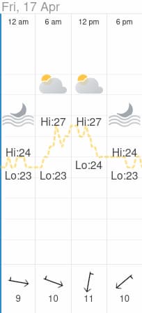
Post-ride accommodation: Winsor’s Han-Guan guesthouse in Jiufen
Bike: Brompton C-Line 12-speed, 2025 model
Navigation computer: Coospo CS-500
Observations
- There was a lot of traffic on Highway 2
- The traffic was light once we left the highway and commenced the climb to Jiufen
Scenery
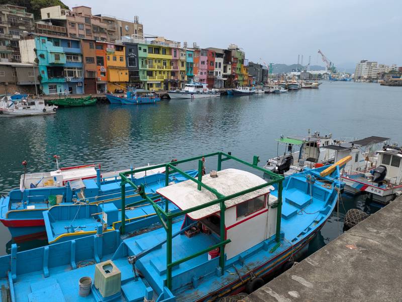
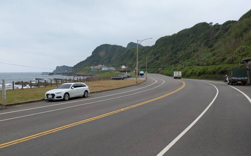
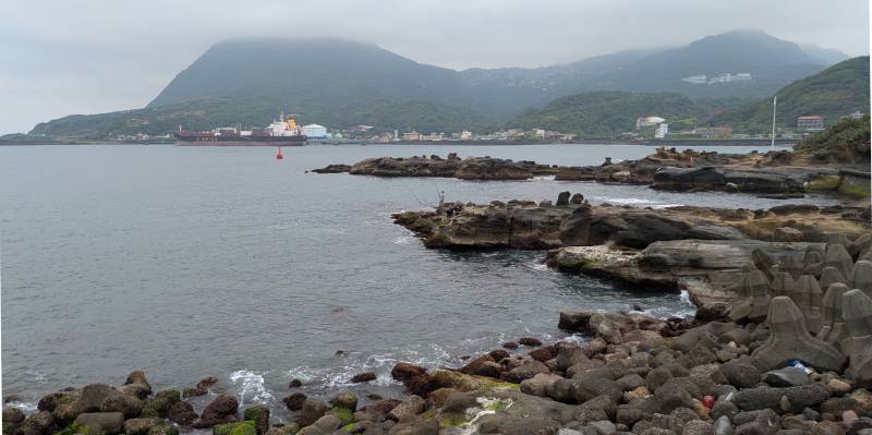
Here are some photos from the ride.
About
This ride was part of a multi-day cycling adventure in Taiwan, in April 2026.